

Autonomous drones and AI-assisted computer vision for near real-time mapping and management of wild stock
Objective
By delivering reliable, local and nearly real-time data about wildlife, the data gathered by FLOX Robotics drones provide insights for data-based wildlife-related decisions to veterinary institutes, nature conservationists, hunting associations, insurance companies and many others. Through AI-assisted identification of wildlife species, the stakeholders have the possibility to track the animal species which are injured, bearing diseases or have been involved in an incident.
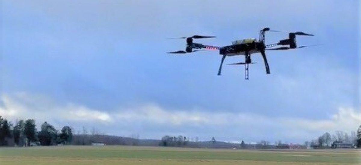
The project demonstrates an integrated solution for automated mapping, identification, tracking and, when required, repelling wild animals using autonomous drones with AI-assisted computer vision and ultrasound repellent technology combined with a geographic information system (GIS)-like for data visualization, analysis and decision making.
Background
The problem of wildlife damage is widespread all over the world, from Sweden to Italy, in the US, India and many other countries. Historically, there has been limited means for quantifying the wild animal population, their moving patterns, and the damages they cause. Damage by wild animals to cultivated fields is a major cause of profit loss for farmers in Europe. In Sweden, in 2020, damage caused by wildlife occurred on 17% of the cultivated area for cereals and nearly 28% for starch potatoes. Temporary grasses are Sweden’s largest crop in acreage, and 17% of the cultivated area had some form of wildlife damage in 2020 [www.scb.se]. In Sweden, around 50% of agricultural companies reported damage from the wildstock in 2020, and more than one-third of farmers stated that the wildstock affects their choice of crops.
Wildlife-related damages are widely present not only in agriculture but also in forest areas. The “rooting” and “wallowing” by wild boars also has an environmental impact, destroying vegetation and degrading water quality. For wildlife-related insurance cases, there is often no physical evidence of species involved in the damage. The verification requires too high a burden of proof to be met to receive payments.
The project demonstrates an integrated solution for mapping and, when required, repelling wild animals using autonomous drones with AI-assisted computer vision and ultrasound repellent technology combined with a geographic information system-like (GIS) for data visualization, analysis and decision making. The project solution will help public authorities and decision making bodies to access site-specific identification of wildlife in larger areas, aggregated from separate fields to regional, national and even international levels.
Crossdisciplinary collaboration
The researchers in the team represent RISE Digital Systems and the Department of Computer and System Sciences at Stockholm University.
Watch the recorded presentation at the Digitalize in Stockholm 2023 event:
Contacts

Mikhail Popov
Senior Researcher at RISE, PI of project Autonomous drones and AI-assisted computer vision for near real-time mapping and management of wild stock, Digital Futures Faculty
+46 10 228 41 33mikhail.popov@ri.se

Barry Brown
Professor, Department of Computer and Systems Sciences at Stockholm University, Co-PI: Autonomous drones and AI-assisted computer vision for near real-time mapping and management of wild stock, Former Main supervisor: Gender inclusive cybersecurity, Digital Futures Faculty
+48 8 16 16 02barry@dsv.su.se