

EO-AI4GlobalChange
Objective
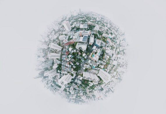
Our planet faces unprecedented environmental challenges, including rapid urbanization, deforestation, pollution, loss of biodiversity, melting glacier, rising sea-level, and climate change. In recent years, the world also witnessed numerous natural disasters, from droughts, heat waves and wildfires to flooding and hurricanes, killing thousands and causing billions in property and infrastructural damages. With its synoptic view and large area coverage at regular revisits, satellite remote sensing has played a crucial role in monitoring our changing planet.
The overall objective of the EO-AI4GlobalChange project is to develop innovative and robust methods for monitoring global environmental changes using Earth Observation big data and deep learning. This research will focus on three major global environmental challenges: urbanization, wildfires and flooding.
Open and free Earth observation big data such as Sentionel-1 SAR and Sentinel-2 MSI data have been used to demonstrate the novel deep learning-based methods in selected cities worldwide and various wildfire and flooding sites across the globe. For urban mapping, a novel Domain Adaptation (DA) approach using semi-supervised learning has been developed for built-up area extraction. Several novel methods have been developed for urban change detection, including a dual-stream U-Net and a Siamese Difference Dual-Task network. For early detection of active fires, Gated Recurrent Units and transformer networks have been used to improve GOES-R and VIIRS dense time series detections.
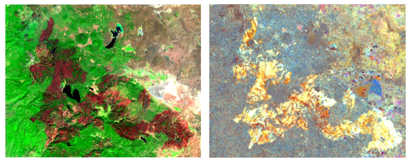
Figure 1. The Dixie Fire burned 963,309 acres (389,837 ha), was the largest single (i.e. non-complex) wildfire in recorded California history and the second-largest wildfire overall. The burned areas were clearly detected by the Sentinel-2 MSI (Left) and Sentinel-1 SAR (Right) images.
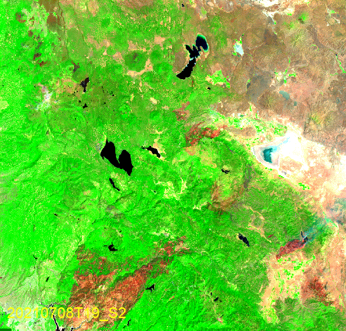
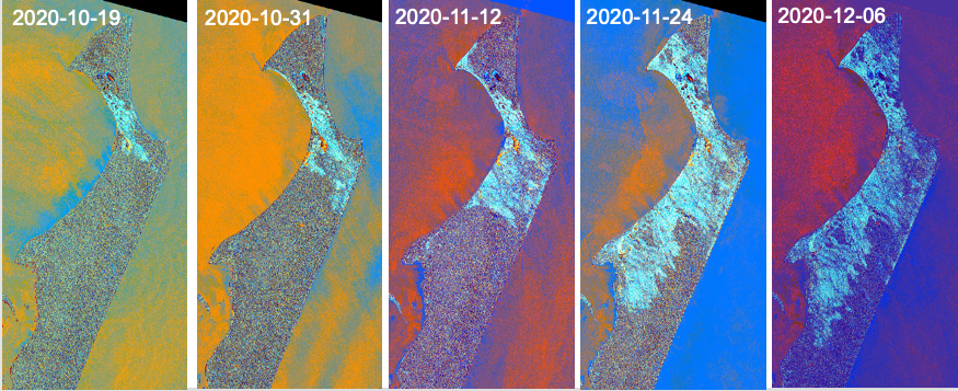
Figure 2. Started on July 13, 2021, and contained on October 25, 2021, the progression of the Dixie Fire was captured by Sentinel-1 and Sentinel-2 images.
For wildfire progression monitoring, transfer learning-based models have been evaluated to exploit Sentinel-1 SAR and Sentinel-2 MSI data. Civil contingencies agencies can use the timely and reliable information the project generates to support effective emergency management and decision-making during and after wildfires and flooding. Automatic and continuous mapping of urban areas and their changes can support sustainable and resilient city planning and contribute to monitoring the UN 2030 Urban Sustainable Development Goal (SDG 11).
Background
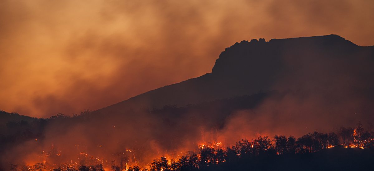
In recent years, the world has experienced many devastating wildfires due to human-induced climate change, most recently in Australia around the turn of 2019/2020. Wildfires kill and displace people, damage property and infrastructure, burn vegetation and harm wildlife, and cost billions of euros to fight. Up-to-date and reliable information on fire risk, active fires, fire extent, progression and damage assessment is critical for effective emergency management and decision support.
The pace of urbanization has been unprecedented. Rapid urbanization poses significant social and environmental challenges, including sprawling informal settlements, increased pollution, urban heat island, loss of biodiversity and ecosystem services, and making cities more vulnerable to disasters. Therefore, accurate and consistent information on urban changing patterns is essential to support sustainable urban development and the UN’s New Urban Agenda.
Monitoring of Fraser Island Bushfire with Sentinel-1 SAR & Deep Learning. Fraser Island, Australia, is the world’s largest sand island & listed as a UNESCO World Heritage site.
Cross-disciplinary collaboration
The researchers in the team represent the School of Architecture and the Built Environment (ABE, KTH) and the School of Electrical Engineering and Computer Science (EECS, KTH).
Watch the recorded presentation at the Digitalize in Stockholm 2023 event:

Contacts
Yifang Ban
Professor and Head of Division Geoinformatics at KTH, Member of the Executive Committee, Associate Director for Dissemination & Impact, PI: EO-AI4GlobalChange, Former Main supervisor: Unraveling the potential of AI and Earth Observation for accurate population predictions in urban regions (POPAI), Former Main supervisor: Fusion of Radar and Optical Remote Sensing Time Series for Wildfire Monitoring with Deep Learning, Digital Futures Faculty
+46 8 790 86 48yifang@kth.se

Andrea Nascetti
Associate Professor, Geoinformatics at KTH, Co-PI of research project EO-AI4GlobalChange, Digital Futures Faculty
nascetti@kth.se
Hossein Azizpour
Assistant Professor, Robotics, Perception and Learning at KTH, PI: Faster-than-real-time and high-resolution simulation of fluid flow in engineering applications: indoor climate as a pilot, Co-PI: EO-AI4GlobalChange, Former Main supervisor: Deep Learning Approaches for Long-term Future Forecasting, Digital Futures Faculty
azizpour@kth.se
Josephine Sullivan
Associate Professor, Division of Robotics, Perception and Learning at KTH, Co-PI: EO-AI4GlobalChange, Former Co-Supervisor: Fusion of Radar and Optical Remote Sensing Time Series for Wildfire Monitoring with Deep Learning, Digital Futures Faculty
+46 8 790 61 36sullivan@kth.se
Ulla Mörtberg
Professor and Docent, Sustainable Development, Environmental Science and and Engineering at KTH, Co-PI: EO-AI4GlobalChange, Co-PI: Embedding AI in an innovative geospatial tool to support policy for clean cooking adoption in low- and middle-income countries, Digital Futures Faculty
+46 8 790 86 08mortberg@kth.se