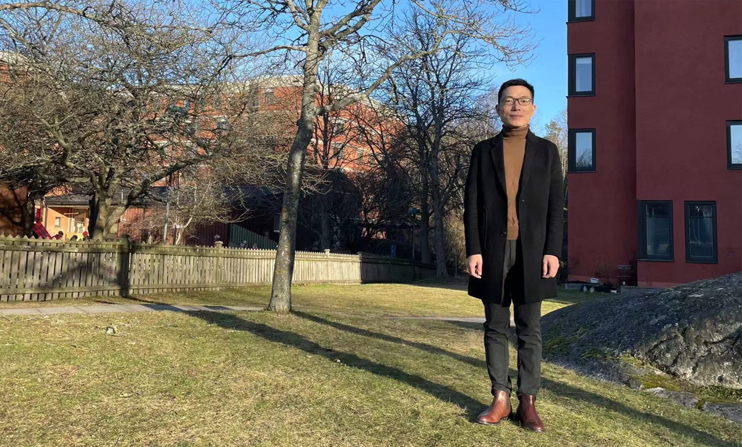
Meet Puzhao Zhang – Postdoc Fellow at Digital Futures. Puzhao received his PhD degree in Pattern Recognition and Intelligent Systems from Xidian University, China at the end of 2019. His PhD research was focused on change detection in remote sensing using machine learning. Since fall, 2017, he has been working on monitoring wildfires and assessing environmental impacts using Earth Observation big data and deep learning in the division of Geoinformatics, KTH.
Hi Puzhao, describe your role as a Postdoc Fellow at Digital Futures and why you applied for this fellowship mobility program?
– Hey! Digital Futures aims to research and develop digital technologies that can lead to novel solutions to social challenges in Sweden and globally, and encourages interdisciplinary collaboration. Monitoring wildfires and their impact on the environment requires solid Earth observation and computer science expertise, which motivated me to apply for the Digital Future Fellowship and Mobility Program and to rethink the environmental challenges posed by climate change.
The title of your postdoc project is Fusion of Radar and Optical Remote Sensing Time Series for Wildfire Monitoring with Deep Learning – tell us a bit about it? Have you already some results from your work?
– The project was motivated by the urgent need to obtain timely and accurate information on ongoing wildfires, and satellite remote sensing enables cost-effective monitoring of large areas across the globe. On-going wildfires are often accompanied by thick smoke that may hinder optical sensors from perceiving the Earth’s surface. Deep learning techniques, combining radar time-series images with optical data contributes to tracking more wildfire progress in both spatial and temporal dimensions. We demonstrate the feasibility and effectiveness of fusing radar and optical remote sensing time series for wildfire monitoring and publish this research in the Journal of Remote Sensing of Environment..
Your research interests include satellite imagery analysis, change detection, machine learning/deep learning, and spatio-temporal modelling for environmental change monitoring – why do you find these topics so fascinating?
– Without actually visiting the study area, we can use satellite remote sensing to monitor dynamic changes happening on the Earth’s surface. Marvellous! Thousands of spaceborne satellites sense systematically and periodically around the Earth’s surface, allowing us to monitor environmental changes on a large scale and study the underlying drivers of change through spatio-temporal modelling.
Finally, tell us a little bit about yourself!
– It has greatly contributed to my professional development through networking with colleagues, and broadened my horizons through collaborations with interdisciplinary researchers, which further solidified my career choice.