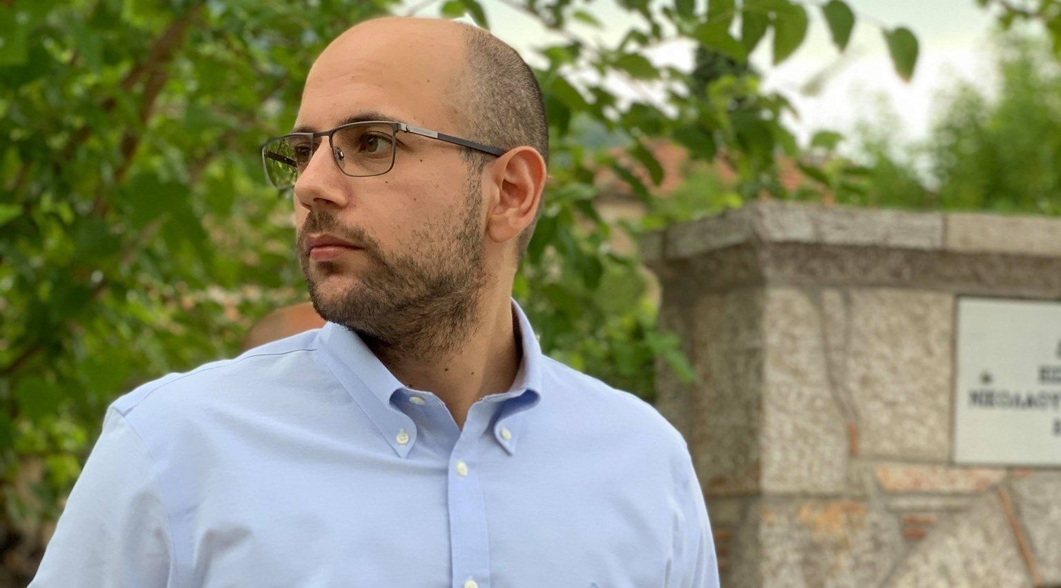
Stefanos Georganos is a research fellow at the Division of Geoinformatics, KTH Royal Institute of Technology. He does research in quantitative human geography, remote sensing, spatial epidemiology and machine learning. His latest research unravels the potential of Artificial Intelligence and Earth Observation to detect, measure and characterize socio-economic inequalities in deprived urban areas in support of the most vulnerable populations. The main supervisor is Yifang Ban, Professor and Head of Division Geoinformatics at KTH and Co-supervisor is Anders Wästfeldt, Professor at Stockholm University.
Hi Stefanos, describe your role as a postdoc at Digital Futures and why you applied for this fellowship mobility program?
– I am a quantitative geographer specialized in machine learning and Earth Observation, currently located at the Division of Geoinformatics at KTH. I pursued this fellowship as it allows me to focus on my own research ideas and develop my career as an independent scientist, which is quite rare to find at such an early career stage!
The title of your postdoc project is Unraveling the potential of AI and Earth Observation for accurate population predictions in urban regions (POPAI)– tell us a bit about it?
– Sure! I am mostly interested in applications that can have strong humanitarian impact and satellite images can be of tremendous help in low- and middle-Income countries. One of the most useful aspects of using satellite information is to extract information in areas with limited availability of data – in this case, population distribution patterns. In POPAI, I make use of state-of-the-art advances in machine learning and satellite data processing to accurately map population in several cities of the Global South. I aim to create a generalized framework that can provide near-real-time population predictions and can be reliably used for urban planning and evidence-based decision making, such as vaccination campaigns.
Have you already had some results from your work? How could this result be used?
– I have just about finished my first paper, so this is a good timing for this question! The main takeaway message from this work is that we were able to predict population patterns in cities while not using local data at all (censuses or surveys). Instead, we created networks that rely on data from other countries. To do so, we used openly available satellite images and Google’s building footprint datasets. To my knowledge this is the first time this has been achieved so I really look forward to seeing the response of the scientific community!
You’re particularly interested in the use of geo-information for helping address the UN Sustainable Development Goals, with a geographical interest in sub-Saharan African cities – where does the interest come from and why are these specific cities?
– The research focus stemmed from my doctoral work as I was working on the use of spatial – mostly satellite-derived – data for malaria risk mapping in sub-Saharan African cities. It quickly turned into a passion, as the possibilities of using satellite data for humanitarian applications and SDG monitoring are tremendous. Unfortunately, such kind of applications are underrepresented in the countries of the Global South, so I hope to raise more awareness through my work!
You’re also engaged in Digital Futures seminars and lectures team – what do you do?
– That’s right, I am also helping with the organization of the Digital Futures Dive-Deep seminars along with my colleague and also Digital Futures postdoc fellow Hao Hu. We identify and invite potential speakers for bi-weekly seminars on topics of digitization. We also host, record and often moderate the seminars – check some of them at the Youtube Digital Futures channel.
Finally, tell us a little bit about yourself!
– After spending almost 5 years in Brussels, I am still trying to adjust to life in Stockholm. It certainly helps that I undertook my master’s studies in Lund, so I am not completely alien to the lifestyle here. I am a vivid follower of fika breaks and will certainly bring this idea with me if I move outside Sweden in the future!
Link to the profile of Stefanos Georganos