About the project
Objective
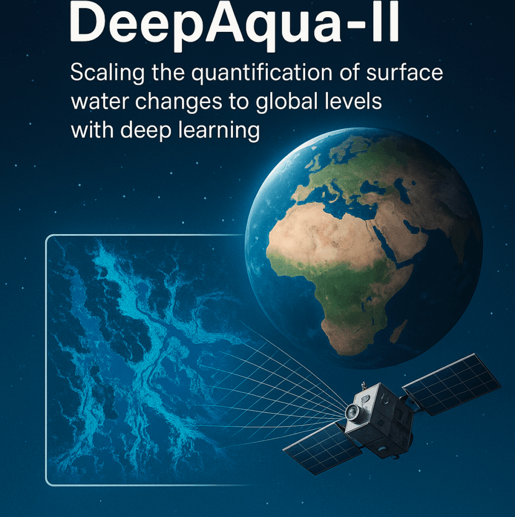
To develop DeepAqua-II, a robust, scalable deep-learning system for global surface-water monitoring using SAR time-series data.
Specific objectives (O1–O5):
- O1: Design a technique to normalize SAR pixel intensity values so models remain resilient to sensor adjustments.
- O2: Build a self-supervised semantic segmentation model using SAR time-series without needing optical data.
- O3: Add support for L-band SAR sensors to detect water under vegetation.
- O4: Quantify changes in surface-water extent across multiple climate regions for 2015–2027.
- O5: Communicate and disseminate results to maximize impact, including training and capacity building.
Background
Surface water is declining worldwide, requiring more accurate monitoring.
- Traditional monitoring depends on optical satellite imagery, which fails under clouds and vegetation.
- Existing SAR-based models require manual annotations and retraining whenever sensors change.
- The earlier DeepAqua project achieved strong performance but still depends on optical data and lacks resilience to sensor adjustments.
- The upcoming NISAR mission introduces L-band SAR, enabling deeper vegetation penetration.
- There is a global need for automated, scalable, optical-independent methods for long-term water-extent mapping.
Crossdisciplinary collaboration
Hydrology & Environmental Sciences
- Led by Professor Zahra Kalantari
- Expertise in water resources management, hydrology, climate-change impacts, and sustainability.
Computer Science & Machine Learning
- Led by Associate Professor Amir H. Payberah
- Expertise in scalable machine learning, deep learning, and time-series modeling.
Nature of collaboration
- Integrates SAR remote sensing, deep learning, and climate/land-water systems.
- Builds on joint results from DeepWetlands and DeepAqua.
- Enables a cooperative system for global-scale water monitoring.