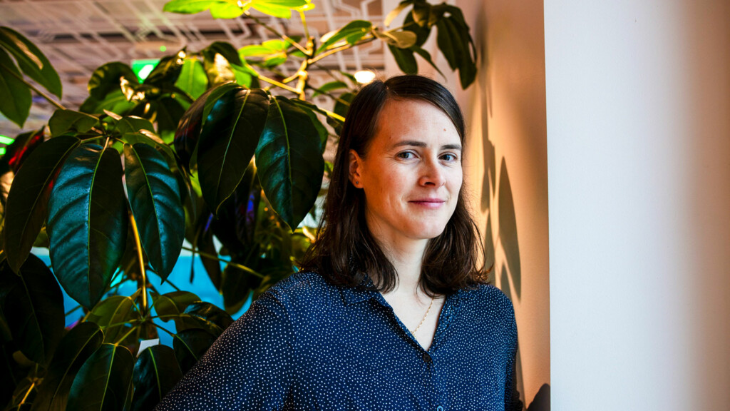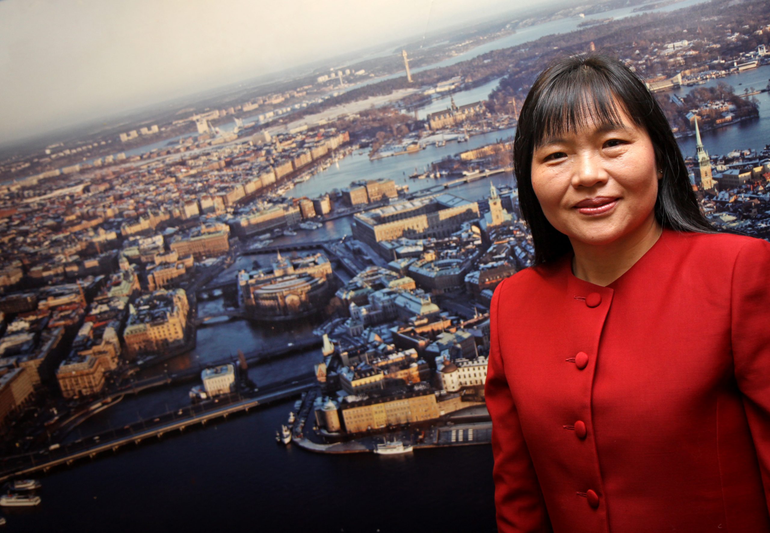
When Yifang Ban took a course on remote sensing she fell in love with the amazing images of Earth from space. Meet Yifang Ban – the Associate Director for Dissemination & Impact. She is the Professor and Director of the Division of Geoinformatics, Department of Urban Planning and Environment at KTH Royal Institute of Technology in Stockholm, Sweden.
Yifang is also PI of research project EO-AI4GlobalChange, and a Supervisor for Postdoc projects “Fusion of Radar and Optical Remote Sensing Time Series for Wildfire Monitoring with Deep Learning” and “Unraveling the potential of AI and Earth Observation for accurate population predictions in urban regions (POPAI)” at Digital Futures. Before joining KTH in 2004, Yifang was a tenured Associate Professor at York University in Toronto, Canada. She received a PhD from the University of Waterloo in Canada in 1996. Yifang is a co-lead of the GEO initiative ‘Global Urban Observation and Information’, and a co-chair of the ICA Commission on Sensor-Driven Mapping.
Hi Yifang and welcome to Digital Futures, you are the Associate Director for Dissemination & Impact at Digital Futures – what will you do?
– I am honoured to be part of Digital Futures to support advancing its vision of solving societal challenges through digital transformation. I would like to work with developing effective dissemination strategies to enhance both the scientific and societal impacts of research projects at Digital Futures. My ongoing activities and plans include:
-
- Organizing the Open Research Day on April 21 where Digital Futures’ 70+ research projects will be showcased to a broader community.
- Working with Digital Futures project teams to increase the visibility and impact of their research and publications through open access, academic/professional social networks, social media, press release, etc.
- Facilitating Digital Futures project teams to develop use cases, organizing popular science seminars to disseminate their use cases to stakeholders, policymakers and the general public.
- Promoting Digital Futures participation in high-level events such as World Urban Forum, UN Climate Change Conference, etc.
- Organizing seminars for Digital Futures PIs and Faculty on popular science article writing, public speaking, and media interview training.
Your research interests include Earth observation big data analytics for mapping urbanization and monitoring wildfires as well as assessing their environmental impact. How come you developed an interest and fascination for these topics?
– When majoring in computer cartography at Nanjing University, I took a course on remote sensing and fell in love right away with the amazing images of Earth from space. These satellite images not only offered the unparalleled opportunity to see the beautiful and diverse landscapes of the Earth surface, but also provided powerful records of environmental changes caused by human activities. Since then, I have been working with leveraging multi-sensor satellite images and machine learning/deep learning for mapping urban land cover, monitoring urbanization and assessing environmental impacts in rapidly urbanizing cities around the world to support sustainable and resilient urban development.
During my sabbatical in Vancouver from summer 2017 to summer 2018, thousands of wildfires broke out and burned over 2.5 million hectares of vegetation across British Columbia (BC). When I discovered that synthetic aperture radar (SAR), that can image day and night penetrating through smoke and clouds, had not been used for wildfire monitoring, I immediately initiated the investigation of the potential of SAR time series and deep learning for near real-time wildfire monitoring. Together with my team, we have developed effective methods for wildfire detection and monitoring – see examples of wildfire monitoring in BC and California during the 2021 wildfire season.
You’re an expert on the UN Habitat’s Technical Committee on Human Settlements Indicators for UN Sustainable Development Goals (SDGs) – tell us about your role?
– My role is to support UN Habitat leveraging geospatial information technology in monitoring global urban development, evaluating effective methods for up-to-date and reliable urban data generation, and assessing the quality of the urban data produced. The mission of SDG11 is to make cities inclusive, safe, resilient and sustainable. To measure and monitor progress, SDG11 is anchored by 10 targets and 15 indicators.
Many of the SDG11 indicators require geospatial data at city level that cannot be collected through traditional data collection methods such as censuses or household surveys. Therefore, alternative and effective methods are needed. Examples of my contributions are:
-
- Tracking Progress Towards Inclusive, Safe, Resilient and Sustainable Cities and Human Settlements: SDG 11 Synthesis Report to the UN High-Level Political Forum 2018.
- Development of the Earth Observations Toolkit for Sustainable Cities and Human Settlements.
- Development of the easy-to-use Google Earth Engine App for SDG indicator 11.3.1 monitoring.
You seem to have been travelling a lot and worked in many countries – tell us a little bit about yourself and what you do when you are not busy with research!
– I grew up in Eastern China, and when I was a teenager, one of my wildest dreams was to visit and live in many different places around the world, experiencing the diverse cultures and landscapes. My global adventures started when I moved to Toronto in May, 1990. As a space enthusiast, I participated in the International Space University summer sessions in Barcelona in 1994 and in Stockholm in 1995 – hosted by KTH where I met my husband, a Swede.
I moved to Stockholm permanently in 2004 when I took up the professorship in Geoinformatics at KTH. I have a daughter, a son and a cat. In my spare time, I enjoy reading, gardening, singing, practicing Taiji, yoga and jogging – training for Tjejmilen.