Date and time: 7 October 2021, 12:00 – 13:00 CEST (UTC +2)
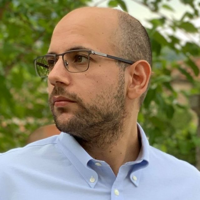
Speaker: Georganos Stefanos, KTH Digital Futures Post-Doc
Title: Filling the gaps: AI and Earth Observation in support of urban sustainability in sub-Saharan Africa
Zoom: https://kth-se.zoom.us/j/69560887455
Meeting ID: 695 6088 7455
Password: 755440
Watch the recorded presentation:
 Abstract: Sub-Saharan African (SSA) cities are some of the most rapid-growing regions in the world. As estimated by the United Nations, more than 50% of the African population will reside in cities by 2030 while in absolute numbers, its population will have doubled – from 1.2 billion in 2015 to 2.5 billion by 2050. This ongoing shift has dramatically affected the capacity of several SSA cities to provide essential services for their residents, such as durable housing, employment and healthcare accessibility. On the contrary, the proliferation of deprived urban areas, further marginalizing the urban poor has been an undisputed observation of the last years. It is therefore profound, that efforts to improve the quality of life of urban dwellers are needed. A starting point to do so, it to provide relevant authorities, stakeholders and organizations with useful socioeconomic, demographic and health indicators of the urban dwellers. Nonetheless, in large parts of SSA, this type of critical information is at best scarce and at worst non-existent and certainly not suited for sophisticated analyses. In this seminar, the potential and challenges of harnessing the power of AI and Earth Observation tools and data to fill these data gaps are discussed. Various examples pertinent to poverty, population estimation, epidemiology and land use are demonstrated, and a vision on future directions is unravelled.
Bio: Stefanos is a Digital Futures post-doctoral fellow at the Division of Geoinformatics, Department of Urban Planning and Environment, KTH. He does research in quantitative human geography, satellite remote sensing, spatial epidemiology and machine learning. He is particularly interested in the use of geo-information for helping address the UN Sustainable Development Goals, with a geographical interest in sub-Saharan African cities. His latest work investigated the use of Earth Observation data and machine learning to model and map malaria prevalence at unprecedented spatial resolutions in various African cities.


